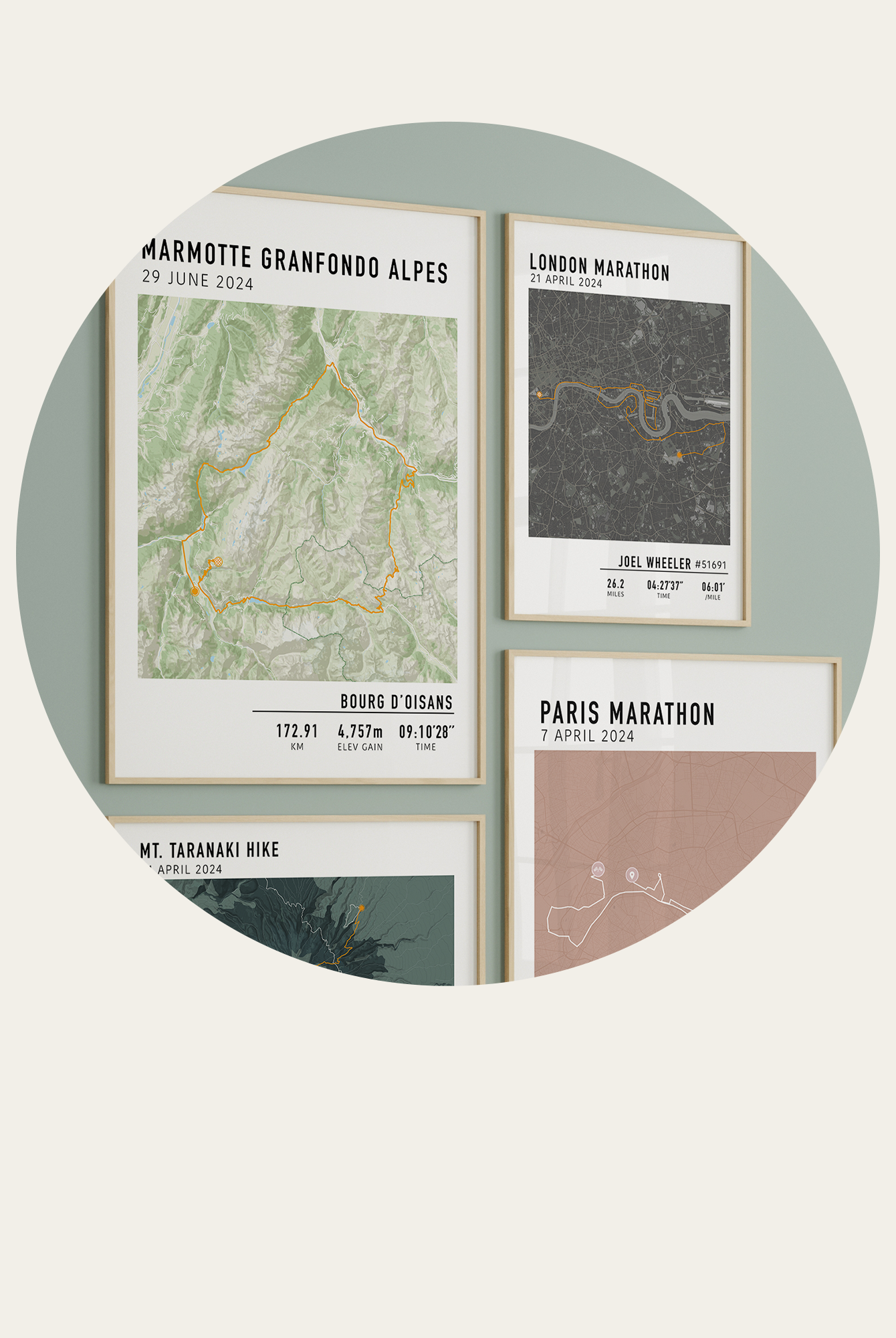


For Hiking and Cycling Adventures
Not every memorable route lives neatly online.
Some of the best hikes and rides happen on quiet back roads, gravel trails, mountain paths, or routes stitched together from local knowledge rather than an official map. If you are trying to track down a route that is not clearly listed online, whether for hiking or cycling, it can feel harder than it should be.
These are often the same routes people later want to turn into a visual record or artwork, especially when there is no official map to reference.
The good news is that most routes can be found with a bit of detective work. Here is how to do it.
Start With Activity Platforms
Google Maps is great for getting from A to B, but it is not designed for adventure routes. Instead, start with platforms built for outdoor activities. We suggest searching the name of the route or area online and looking for the websites below.
Strava is one of the best places to begin. Even if a route is not labelled as an event or trail, someone has almost certainly recorded it.
Tips for Strava:
-
Use the heatmap feature to spot commonly used paths
-
Use Segments search to find popular climbs, sections, or repeated routes
If you are planning to create a printed route later, these recordings give you a solid base GPX file that can be cleaned up or refined.
Komoot is especially useful for hiking and mixed terrain routes. Many users upload detailed routes with surface type and elevation included.
Garmin Connect is another strong option, particularly for cyclists and endurance athletes.
Search by Location, Not Route Name
Many unofficial routes do not have a name. Instead of searching for a specific title, search by:
-
Nearby towns or landmarks
-
National parks or trail networks
-
Popular climbs, passes, or coastal sections
For example, instead of searching “Alpine gravel loop,” search for the region and filter activities by distance or elevation.
This approach works especially well for hiking trails and long cycling routes that vary slightly depending on who records them.
Rebuild the Route Manually
If you can see the path but cannot download it, rebuilding is often the final step.
Most route tools allow you to trace manually by clicking along roads and trails. It takes a little time, but it gives you full control and often results in a cleaner final route.
This is common for:
-
Older hikes
-
Informal gravel rides
-
One off adventure days
-
Routes shared only in photos or stories
Some websites we recommend are mapmyrun.com and ridewithgps.com.
Manually rebuilt routes are also ideal if you want your final route to be accurate, clean, and ready to turn into a finished print rather than a rough GPS trace.
Turning a Route Into Something You Can Keep
Once you have your route, it does not have to live forever on a screen.

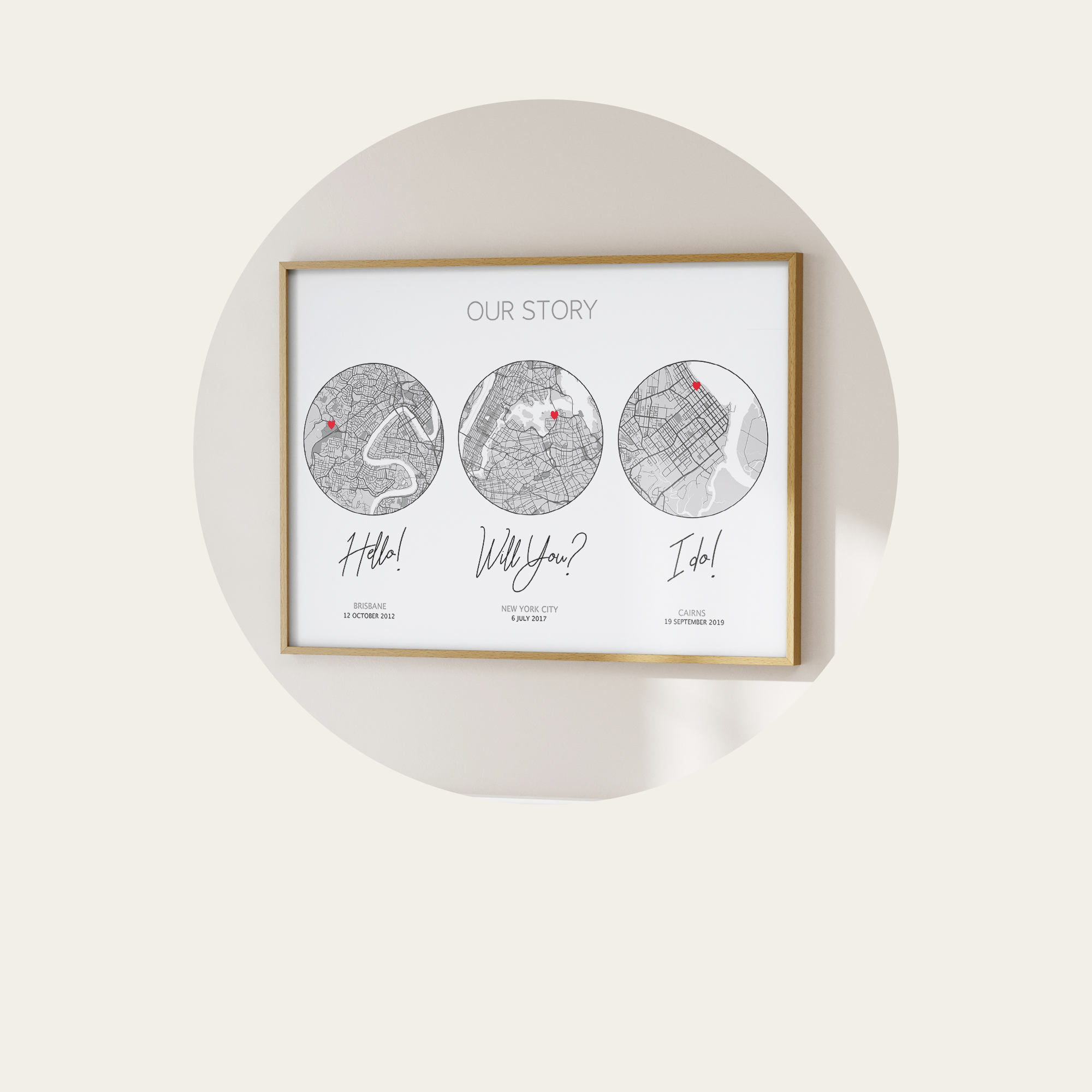
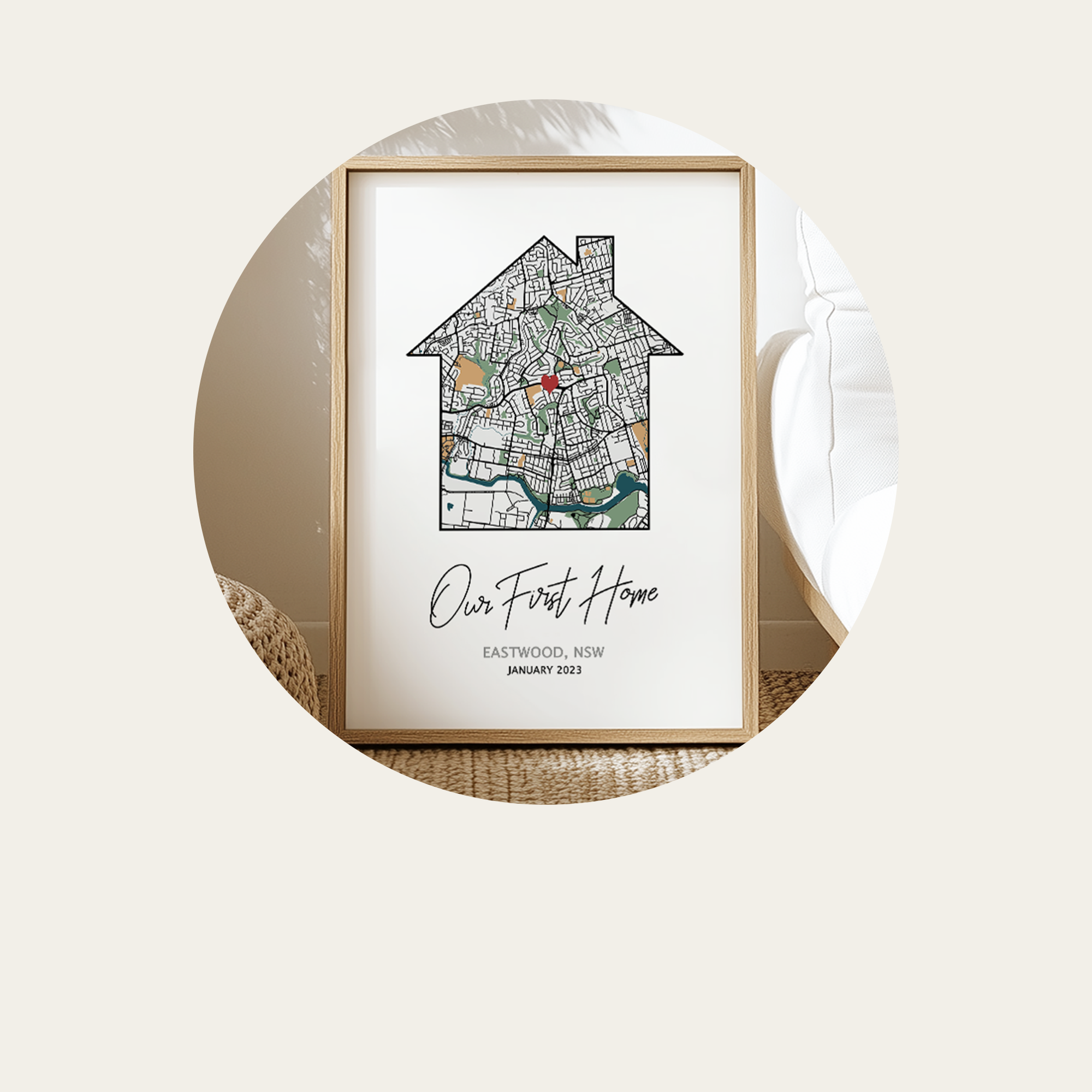
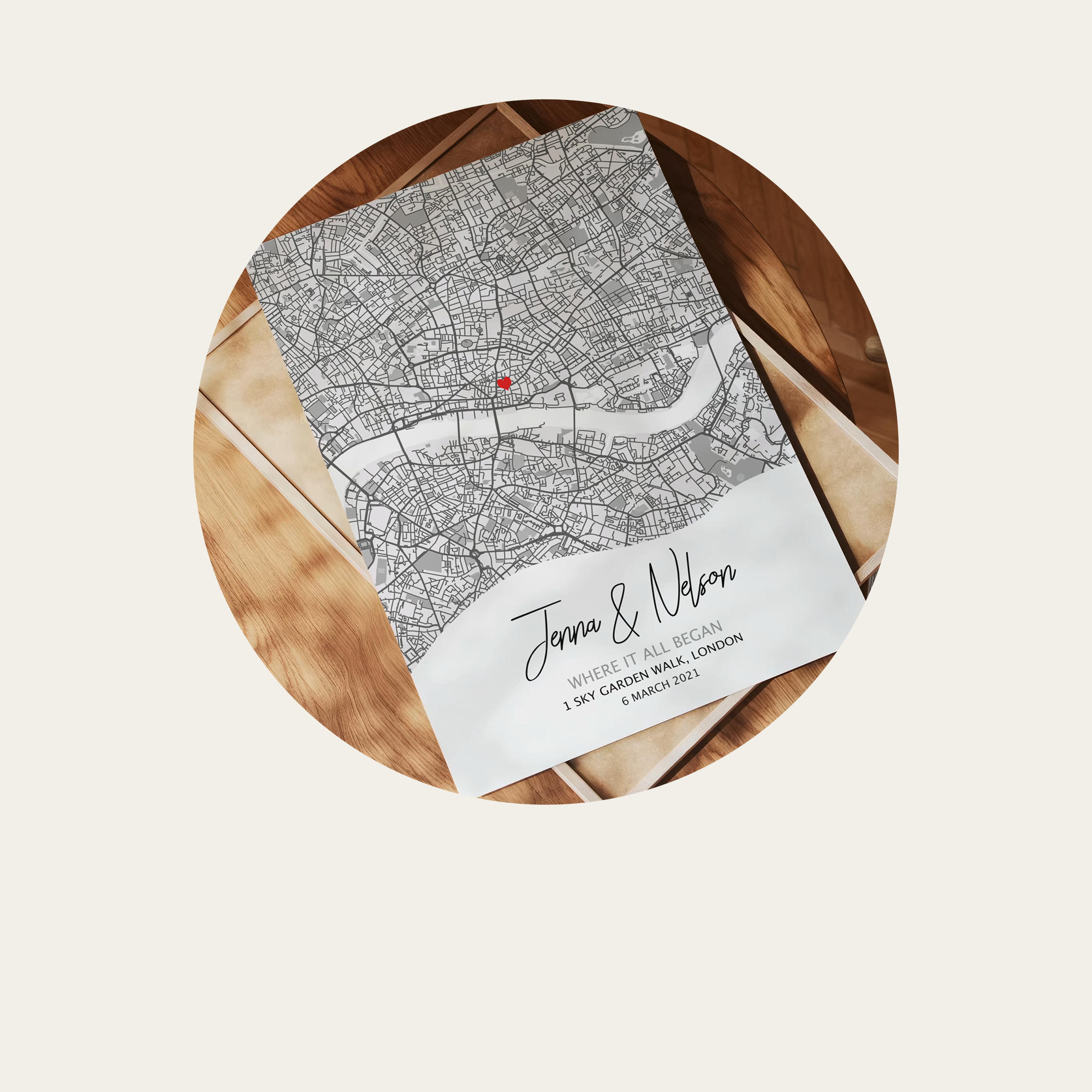
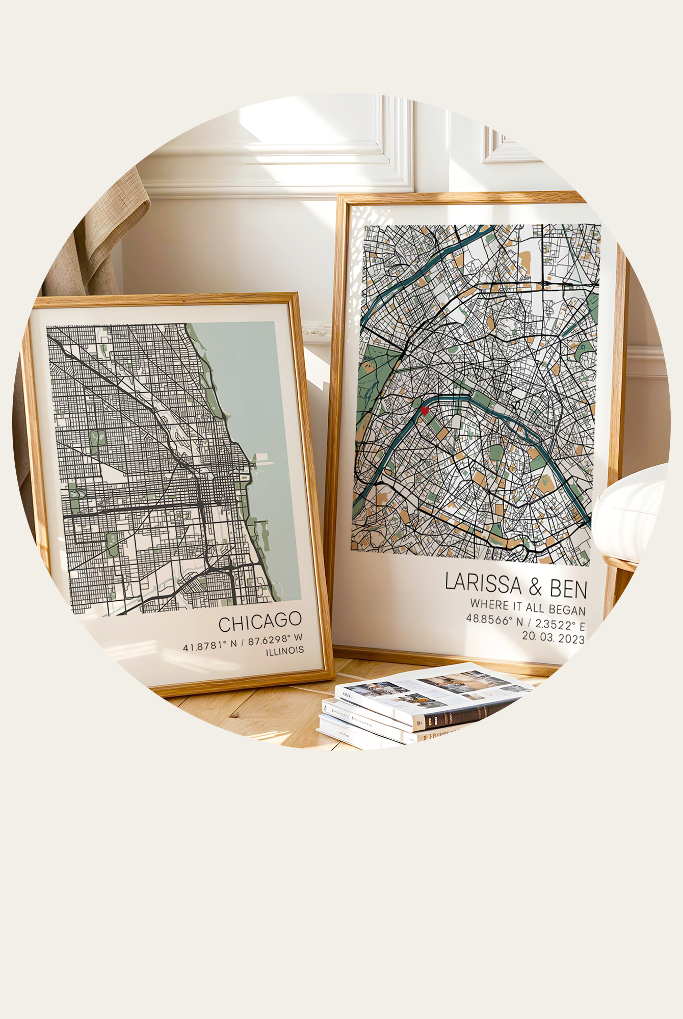
Many hikers and cyclists choose to turn their route into a physical print, showing the path, distance, elevation, and location where the memory was made. Whether it was a remote hike, a gravel adventure, or a once in a lifetime ride, those off the beaten track routes are often the ones worth keeping.
If you need help sourcing or rebuilding a common hiking or cycling route, we can help with that once your order is placed.